Focus Areas
We build technical capacity to lead, manage, monitor, and evaluate environmental programs from global to local scales.
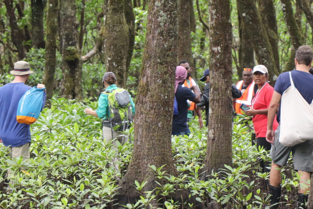
Deforestation Monitoring
Enhancing national capacities to detect forest loss over time using satellite imagery and robust analytical tools.
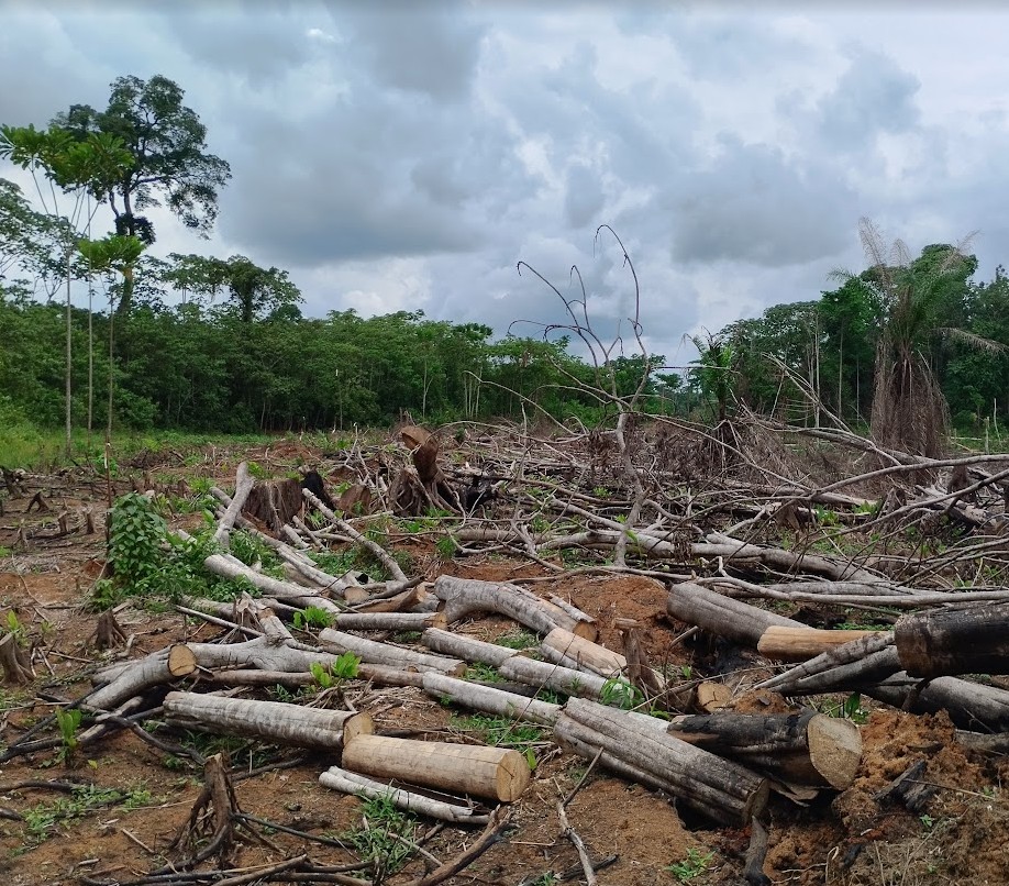
Early Warning Systems
Developing and improving systems that alert decision-makers to emerging deforestation hotspots in near real-time.

Land Use and Land Cover Change
Supporting countries in mapping and analyzing land use transitions, particularly from forest to agricultural, cattle or urban landscapes for the purpose of reporting to the United Nations REDD+ and the greenhouse gas inventory.
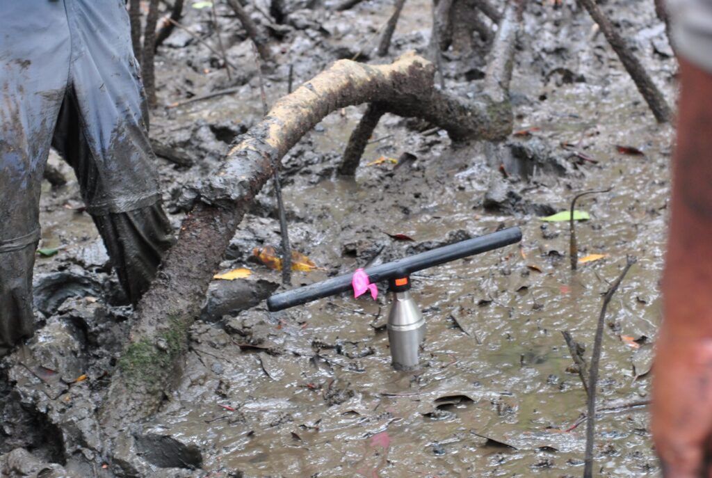
Mangrove Carbon Accounting
Building capacity for accurate monitoring of mangrove ecosystems, which are critical for REDD+ and blue carbon frameworks.
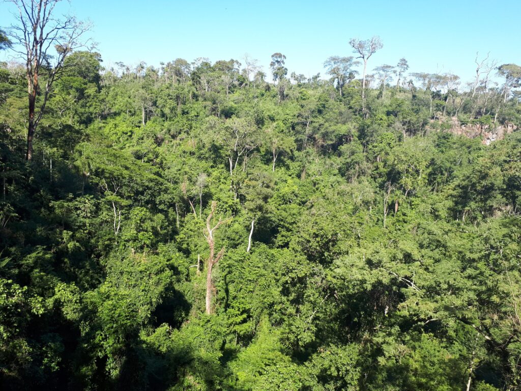
Biomass Estimation from Remote Sensing
Building capacity to improve National Forest Inventories in countries using LiDAR satellite data.
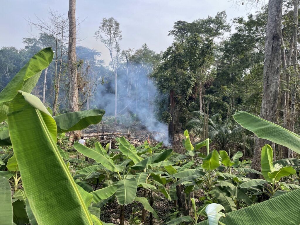
Agricultural Expansion and Commodities Mapping
Monitoring the spread of commodity crops (e.g., oil palm, soy, cocoa) and their impact on forested landscapes.
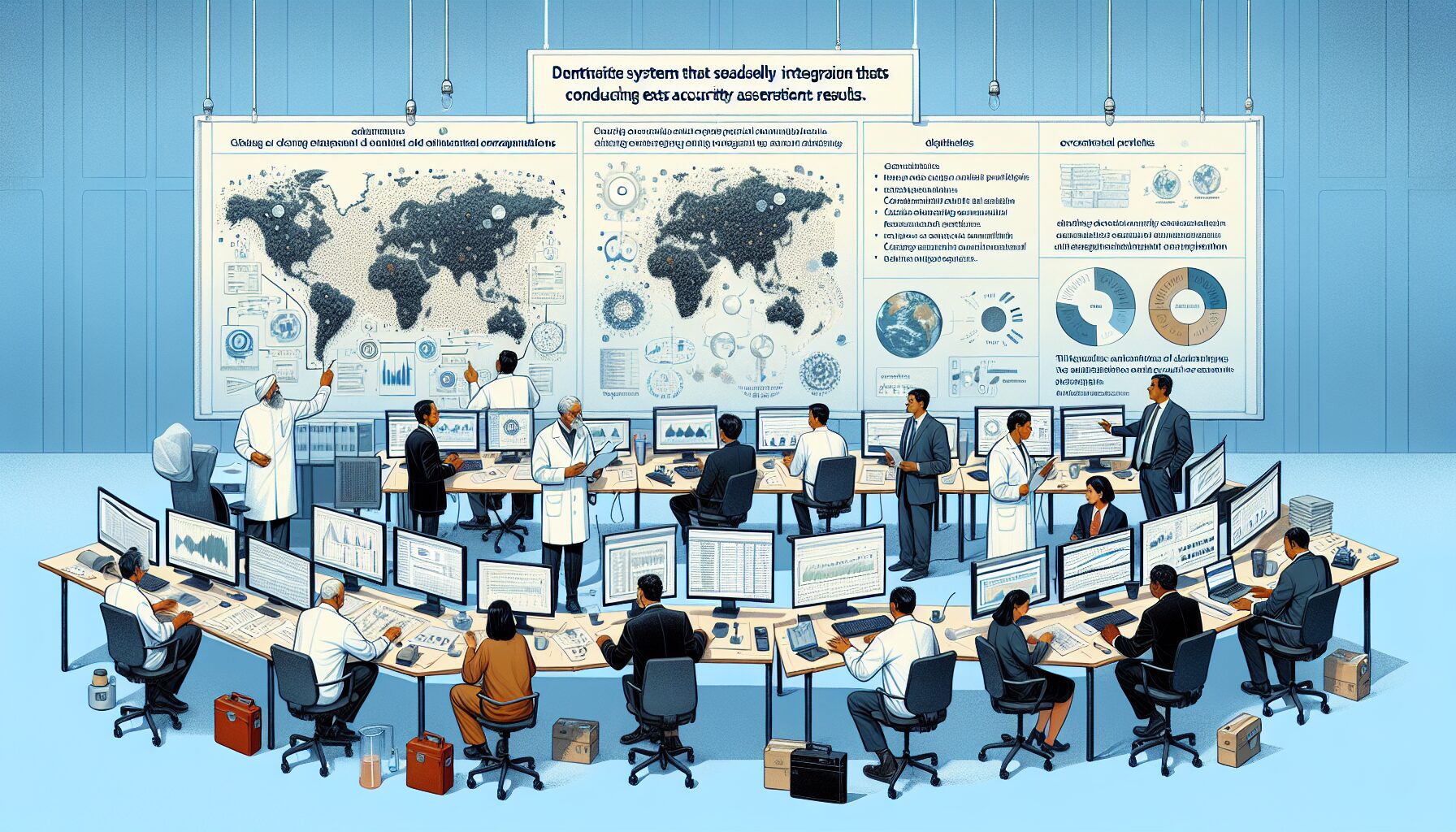
Data Integration and Accuracy Assessment
Helping countries develop systems for integrating multiple data sources and conducting robust accuracy assessments aligned with IPCC and GHG inventory guidelines.
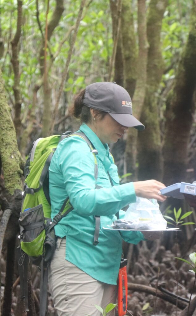
Remote Sensing and Ground Measurement Integration
Combination of Earth observation data with field measurements for carbon accounting estimation.
